If your fields flood after rain and run dry soon after, think beyond the farm boundary. Watershed management means caring for all the land that drains to one outlet, so water, soil and people benefit together.
This guide is part of our wider coverage of natural resource management in africa.
| Item | Value |
|---|---|
| Other names for a watershed | Drainage basin or catchment |
| Chesapeake Bay watershed (a large example) | 64,000 square miles (165,759 square kilometers) |
| Ethiopia CALM: area under sustainable landscape management | Over 2.56 million hectares |
| Ethiopia CALM: area registered under community watershed cooperatives | Approximately 3.5 million hectares |
| Ethiopia CALM: community watershed cooperatives | More than 6,000 |
The figures come from NOAA’s National Ocean Service and a June 2026 World Bank feature. They can change, so check the sources before you rely on them.
What a watershed is and why its edges matter
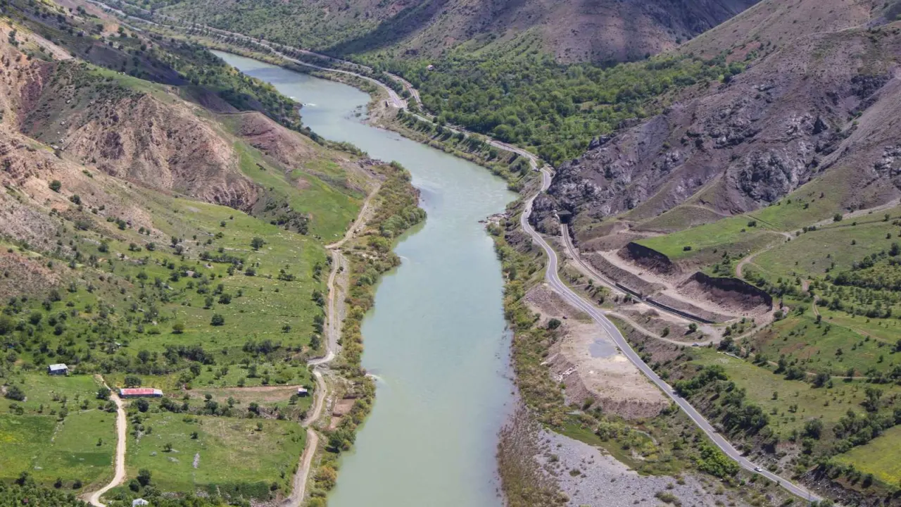
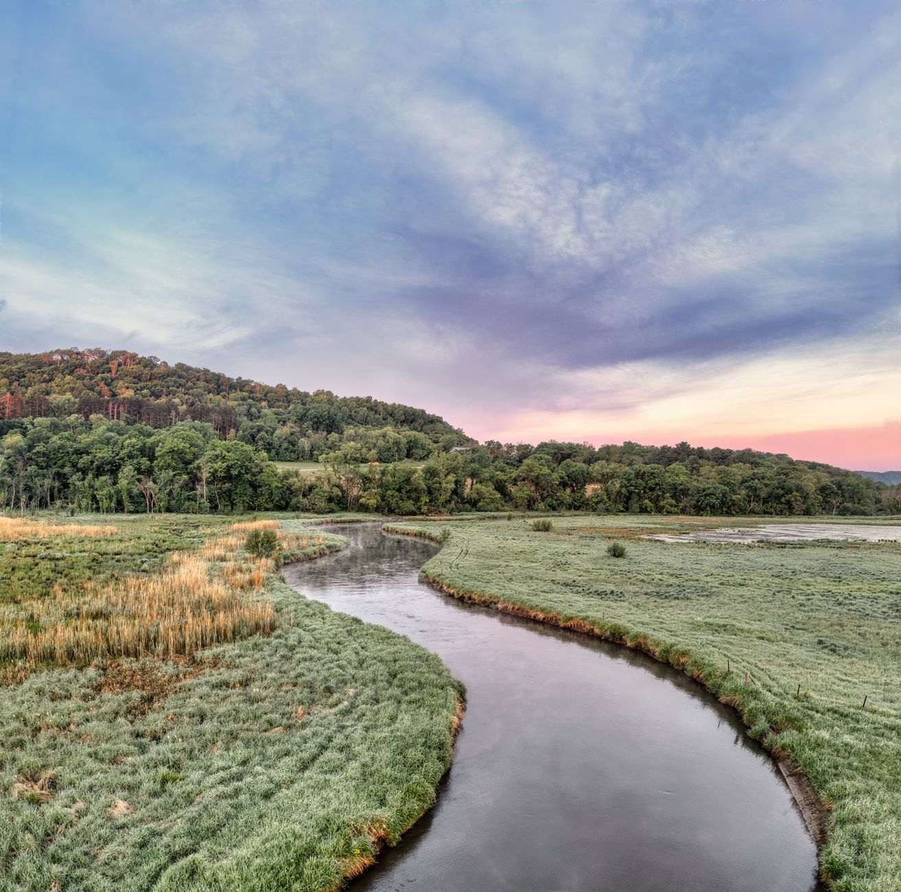
A watershed is the land area whose runoff ends up in the same stream, river, lake or reservoir. NOAA notes that it is also called a drainage basin or catchment, and that watersheds range from a modest inland lake’s surroundings to areas covering thousands of square miles.
The boundary follows the high ground. Rain that falls on one side of a ridge flows to one valley; rain on the other side flows to the next.
This matters because what happens upslope reaches everyone downslope. Bare soil on a hillside, a new road, a cleared riverbank or a heavily grazed slope all change how much water arrives below, how fast, and how muddy it is.
What watershed management actually involves
Watershed management is the planned use and care of land, water and vegetation within that boundary. The aim is steady water supply, less erosion and sustained livelihoods, rather than any single crop or structure.
Practitioners usually work across several areas at once:
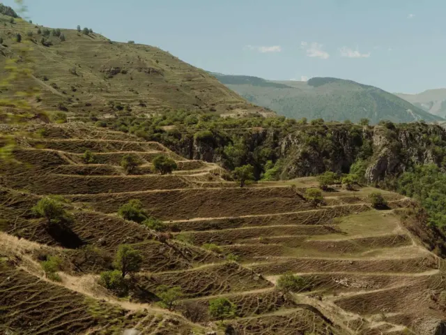
- Soil conservation: terraces, contour bunds, grass strips and cover crops that slow runoff.
- Vegetation: trees, shrubs and grass on steep slopes, gully heads and riverbanks.
- Water harvesting: ponds, check dams and recharge structures that hold water in the landscape longer.
- Grazing and land-use rules: agreements on where animals graze, where cultivation stops and which areas stay closed to regrow.
- People and institutions: user groups that decide, share work and maintain what is built.
The last item is easy to overlook, but structures without a group that maintains them tend to silt up or break.
The ridge-to-valley logic: where to work first
A common approach is to treat a watershed from the top down. Upper slopes get cover and runoff control first, so that structures lower down are not buried by sediment soon after they are built.
- Map the watershed with the people who live in it. Farmers know where gullies started and where water stands.
- Find the problem areas: steep cultivated slopes, overgrazed hillsides, degraded springs and gullies.
- Protect and regrow the ridge and upper slopes with closures, trees and grass.
- Treat the middle slopes with terraces, bunds and agroforestry on farmland.
- Stabilise gullies and valley bottoms with check dams, vegetation and wetter-area farming.
- Agree on upkeep before the work finishes: who repairs, who benefits, who decides.
Our piece on land degradation restoration covers the restoration side of this in more depth.
A large-scale example: Ethiopia’s landscape programme
Ethiopia’s highlands are a well-known testing ground for watershed work. A World Bank feature from June 2026 describes the CALM Program, which operated across 700 woredas, the local subdivisions equivalent to districts.
According to that feature, over 2.56 million hectares were brought under sustainable landscape management practices, including area closure, climate smart agriculture, and soil and water conservation. About 3.5 million hectares are registered under more than 6,000 legally established Community Watershed User Cooperative Societies.
The feature also links secure land rights to restoration, saying farmers who hold formal rights to their land invest more in its long-term restoration. That is the program’s own claim, reported in a World Bank story, so read it as a summary of results by the organisation that financed it.
Why it matters for farms and households
Healthy watersheds tend to give more reliable water. Soil that is covered and loosened lets rain soak in, which can feed springs and shallow wells through the dry months instead of sending everything down the river at once.
It also protects what farmers already have. Topsoil lost to runoff takes nutrients and organic matter with it, so keeping soil in place is usually cheaper than replacing fertility later.
Downstream users benefit too. Clearer water is easier and cheaper to use for drinking, irrigation and livestock, and reservoirs fill with silt more slowly.
There is a social side as well. Shared rules about grazing, water and tree cutting can reduce disputes between upstream and downstream neighbours, provided everyone has a voice in setting them.
Common mistakes and what they teach
Watershed projects fail for fairly predictable reasons. NOAA notes that some watersheds are relatively small while others cover thousands of square miles, so a design that suits one may not suit another.
- Treating the symptom: building a dam on a gully while the slope above keeps shedding soil.
- Ignoring land rights: the World Bank feature above links formal land rights to greater investment in long-term restoration.
- One-size designs: a terrace that works on deep soil can fail on shallow, stony ground.
- No upkeep plan: structures can silt up if nobody clears them.
- Forgetting energy and fodder needs: if households depend on slopes for cooking fuel, closures may come under pressure. See fuelwood and charcoal alternatives for ways to ease that pressure.
How to get started on a small scale
You do not need a national program to begin. A village, a farmers’ group or a school can start with a walk along the water path from the highest field to the stream.
Note where water speeds up, where soil is carried off and where it settles. Pick one or two cheap, visible fixes, such as grass strips on contours or a protected spring, and build agreement around them before adding more.
Agroforestry fits well here, because trees on farmland can hold soil, give fodder or fruit, and add shade without taking land out of production. Choose species people already value, so they have a reason to protect them.
Keep records of simple signs: whether springs flow longer, whether streams run clearer after rain, and whether yields improve. Those observations show what is working and keep neighbours on board.
Frequently asked questions
Is a watershed the same as a catchment?
Show answer
Mostly yes. NOAA says a watershed is also called a drainage basin or catchment, though some writers use catchment for smaller units.
Who should lead watershed management?
Show answer
Plans work best when the people who use the land help shape them. The Ethiopian example above uses community cooperatives for exactly that reason.
Do I need trees for watershed management?
Show answer
Not always, but vegetation cover is central. Trees, shrubs and grass slow runoff and hold soil, and the right mix depends on slope, rainfall and local needs.
Can one farmer make a difference?
Show answer
Yes, on their own land and often as a neighbour’s example. Contour planting, cover crops and protected streambanks help, but the biggest gains come when neighbours act together.